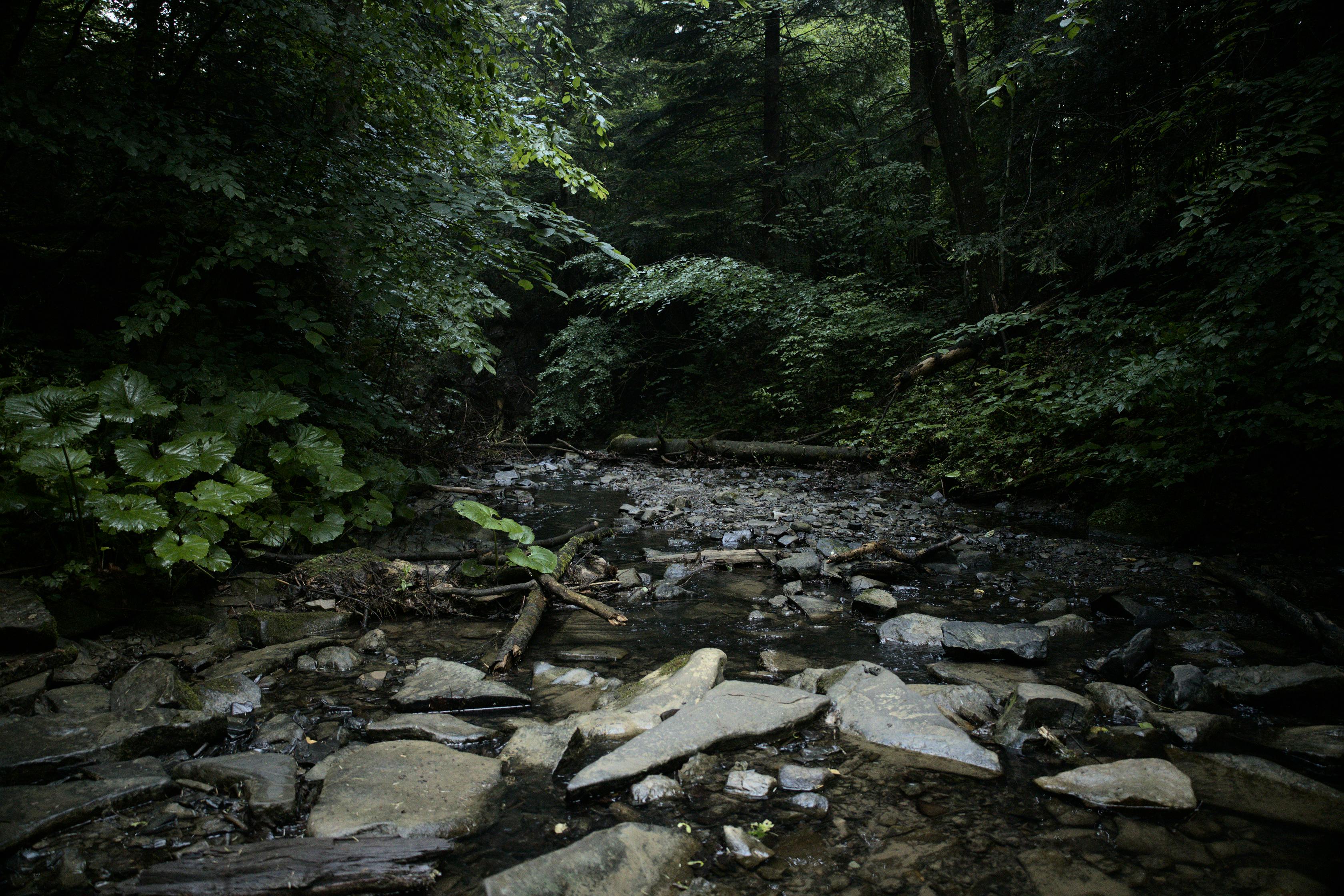
The Rocky River is a 95-mile-long (153 km) river in the Piedmont region of North Carolina. It begins in Iredell County near Mooresville and flows south into Cabarrus County, where it is the principal waterway in the county. The river continues southeastward to form the line between Stanly, Union, and Anson counties. It empties into the Pee Dee River just below Norwood, North Carolina at the junction of Stanly, Montgomery, Anson, and Richmond counties, at the foot of the Uwharrie Mountains.
Efforts are being made to boost tourism, including and canoe and kayak recreation, along Rocky River "Blueway" as part of the Carolina Thread Trail.
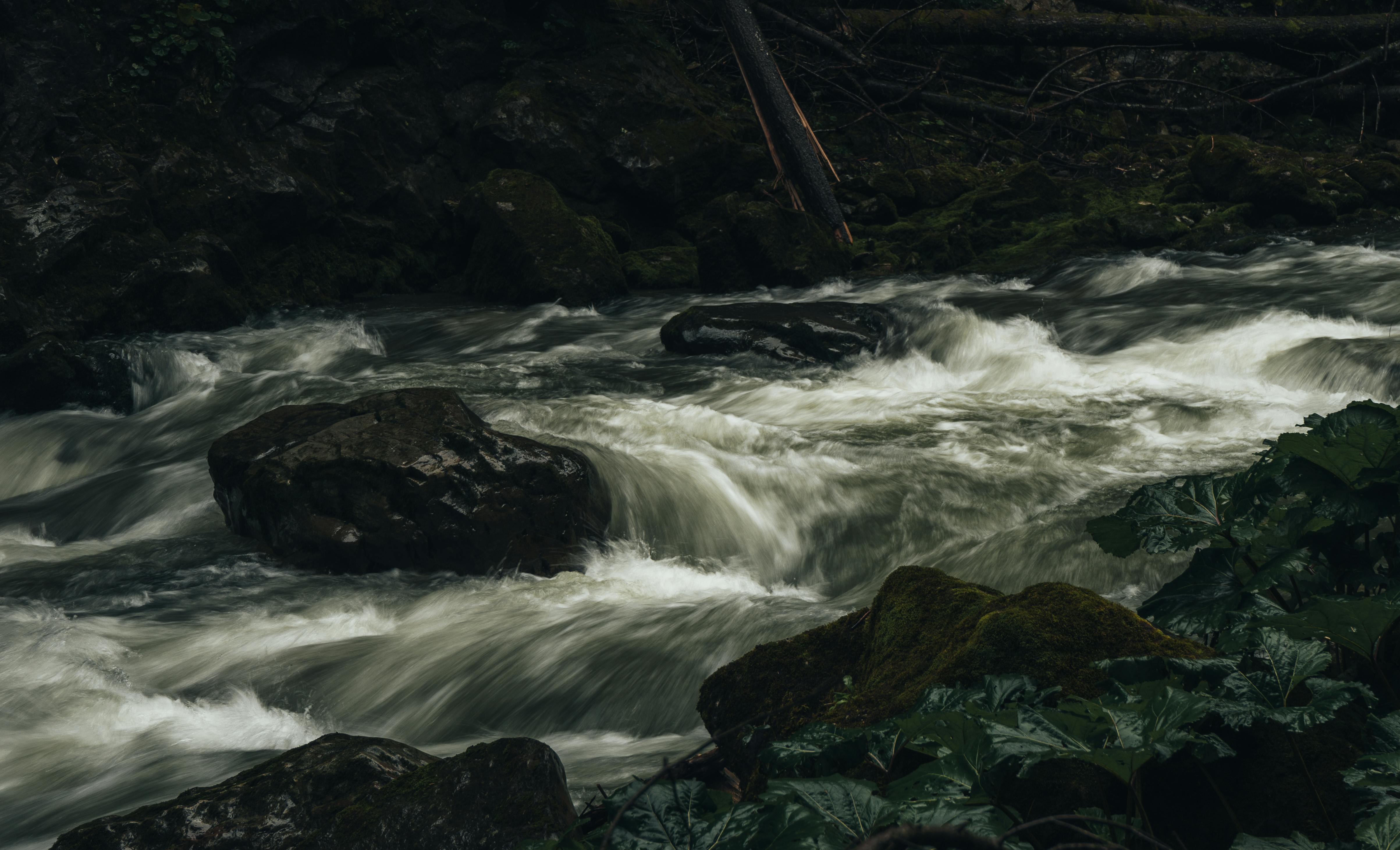
In 2018, the Hoosier Dam was removed from the Rocky River, reconnecting 253 miles of the upstream aquatic network to 1,100 miles of the downstream, unobstructed aquatic network. This dam removal supported habitats for two federally-listed aquatic species, the Cape Fear Shiner and Harperella and opened new Class I, Class II, and potential Class III rapids on the Rocky River.
Private, non-profit organizations have developed park lands for improved river access, but some controversy ensued.
References