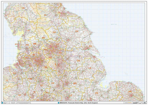
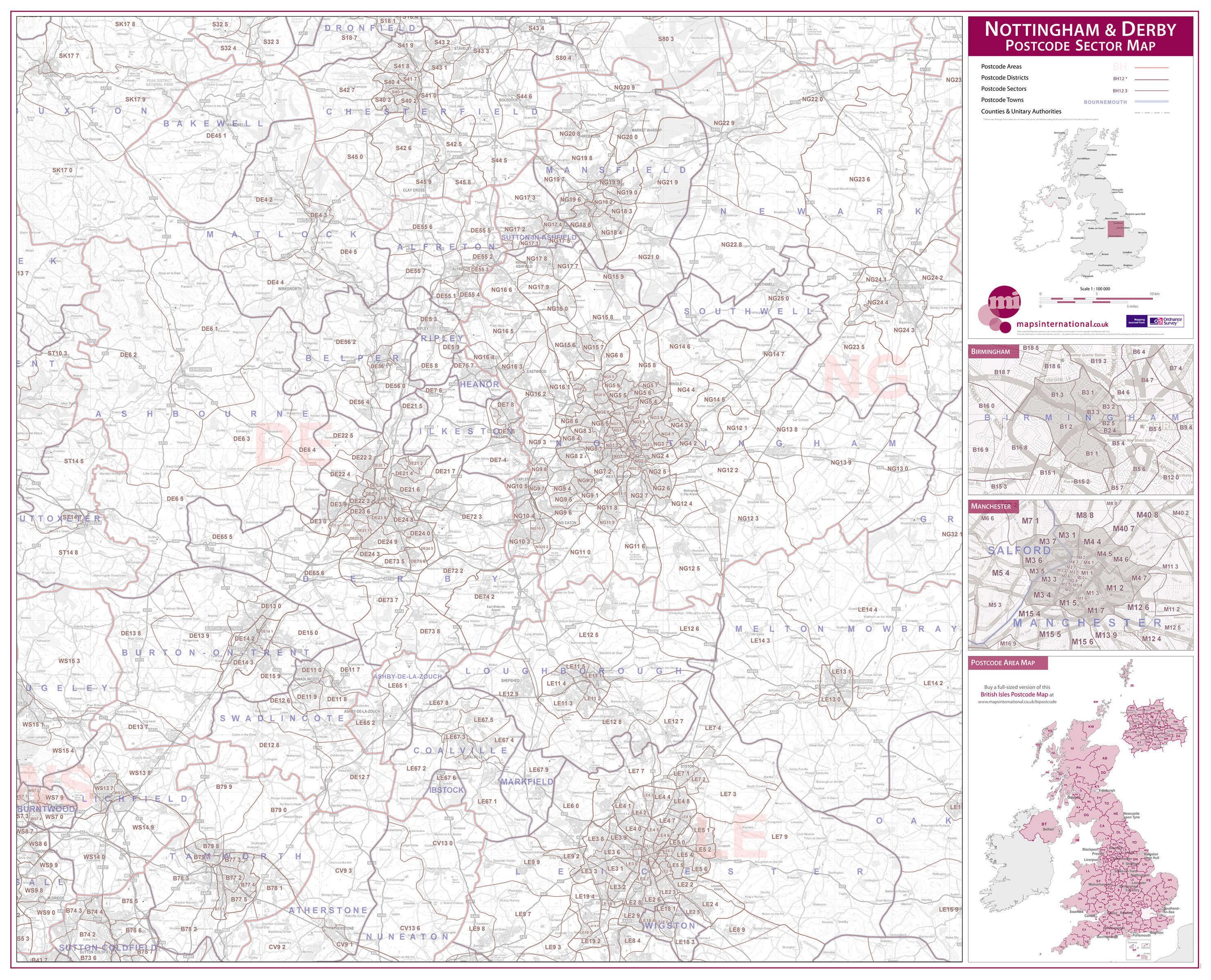
The NG postcode area, also known as the Nottingham postcode area, is a group of 29 postcode districts in the East Midlands of England, within seven post towns. These cover southern and central Nottinghamshire (including Nottingham, Mansfield, Sutton-in-Ashfield, Newark-on-Trent and Southwell), parts of south-west Lincolnshire (including Grantham and Sleaford) and small parts of Derbyshire and Leicestershire. The NG postcode area is one of six with a population above 1 million.
Coverage
The approximate coverage of the postcode districts:
Map
See also
- Postcode Address File
- List of postcode areas in the United Kingdom
References
External links
- Royal Mail's Postcode Address File
- A quick introduction to Royal Mail's Postcode Address File (PAF)